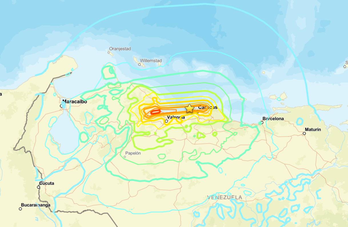
The Daily Journal — The U.S. Geological Survey (USGS) has updated its technical assessment of the 7.5-magnitude earthquake that struck Venezuela on June 24, 2026, relocating the estimated epicenter to 17 kilometers west of Catia La Mar, in La Guaira state.
The agency’s revised assessment places the main earthquake’s epicenter at 10.622° north latitude and 67.194° west longitude, with a depth of 10 kilometers. The earthquake occurred at 22:05:03 UTC (6:05:03 p.m. Venezuela time).
The update changes the initial estimates, which had placed both earthquakes that formed the June 24 seismic doublet in the Yaracuy region.
The USGS said it refined the epicenter after incorporating additional seismic data and conducting “a refined analysis” of the event.
However, the agency cautioned that the actual uncertainty surrounding the epicenter’s location may exceed the initial 6-kilometer estimate because the earlier seismic signals were affected by the preceding earthquake.
“The true location uncertainty is probably greater than the calculated 6 km because a foreshock obscures the initial arrivals,” the USGS said.
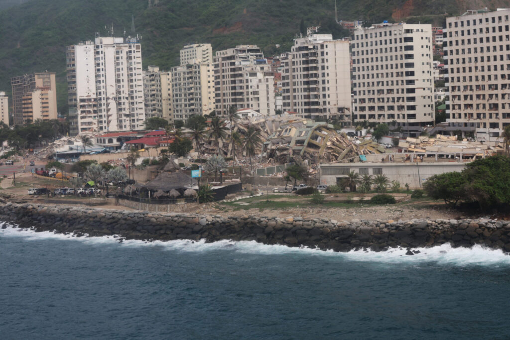
Seismic doublet with revised epicenters
The USGS identified the 7.5-magnitude earthquake as the main shock in a seismic doublet sequence that followed a 7.2-magnitude earthquake only seconds earlier.
At first, analysts considered both earthquakes part of the same epicentral area. The revised calculations now provide a more precise location for the main earthquake, placing it closer to Venezuela’s central coastline.
The USGS defines a seismic doublet as a sequence of two earthquakes with similar magnitudes that occur close together in time and location. This pattern may reflect complex interactions and rupture processes within an active fault.
Rupture linked to the San Sebastián fault system
In its tectonic analysis, the USGS concluded that the 7.5-magnitude earthquake resulted from a right-lateral strike-slip fault associated with the boundary between the Caribbean Plate and the South American Plate.
The agency said the rupture occurred at a depth of about 10 kilometers, while its preliminary fault model estimates a rupture zone approximately 175 kilometers long and 20 kilometers wide.
According to the preliminary satellite and seismic analysis, the rupture began near the epicenter on land. It propagated eastward along the San Sebastián Fault System, reaching areas near Caracas and La Guaira.